Cadastral
You will need a licensed surveyor when you want to:
- know where the boundaries of your property are
- build on or near your boundaries
- claim title to land under adverse possession
- subdivide your property
- create an easement over your property
- establish a building strata development
“A Licensed Surveyor is a surveyor authorised to perform cadastral surveys and is the only person (or entity) legally entitled to undertake a survey to define and mark the boundaries of your property. Licensed Surveyors in Victoria are registered by the Surveyors Registration Board of Victoria. Any person, not being a Licensed Surveyor, who undertakes a boundary survey (cadastral survey) is liable for prosecution, as such a survey is illegal and would have no legal standing”
Surveyors Registration Board of Victoria
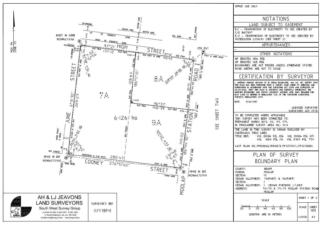
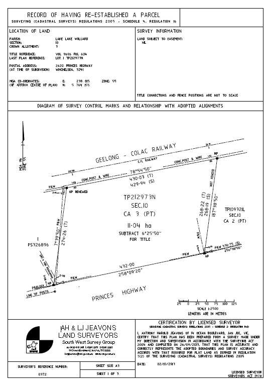
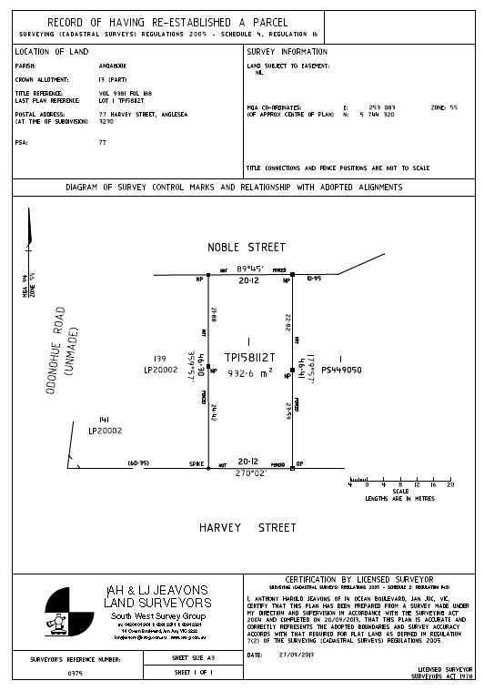
Title Surveys (Re-Establishment Surveys)
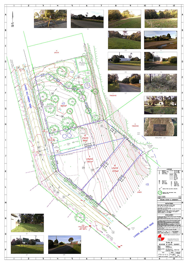
Determines the location of the title relative to the existing occupation (fencing / buildings etc.) surrounding the site. Any issues regarding the title are also identified along with your rights to your title. This survey can avoid costly delays and any potential legal action from adjacent property owners. Marking the title boundary with pegs or other monuments and preparation and provision of a Plan of Re-establishment Survey. Lodgement of Plan with the Land Registry as per the Surveying (Cadastral Surveys) Regulations 2005 – Schedule 4, Regulation 16.
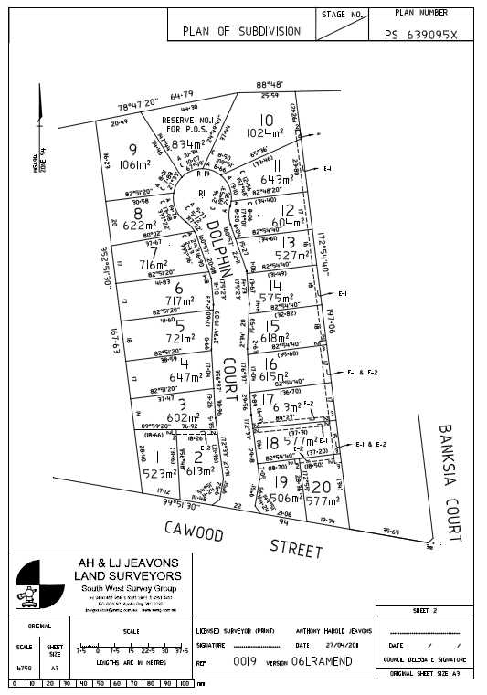
Land Subdivisions:
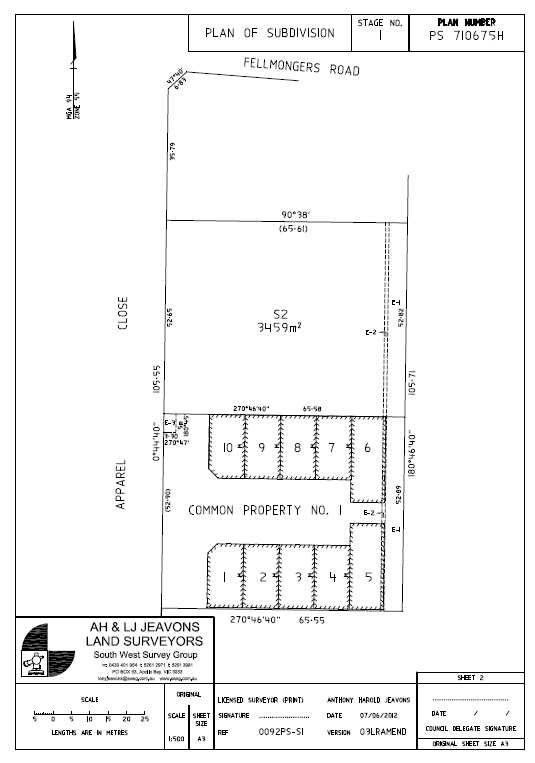
Subdivision of land from two lot subdivisions through to large multi stage estates. Includes preparation of Plan of Subdivision for , correspondence with the relevant authorities and
Building Subdivisions:
Subdivision of residential, commercial & industrial buildings.
Application Surveys to amend Title:
Adverse Possession (Section 60, Transfer of Land Act 1958)
 2010_Your_guide_to_application_for_adverse_possession.pdf
(Section 99, Transfer of Land Act 1958)
(Section 103, Transfer of Land Act 1958)
Title Consolidation:
The process of joining two titles together to form a complete parcel. A common process when a building is to be built over an existing boundary line.
Boundary Realignment:
Similar to the subdivision process in part, boundary realignment surveys do not create any new parcels but move existing boundaries. The process normally involves multiple property owners working together to achieve the desired result.
Creation & Removal of Easements, Licences & Restrictions
Create, vary or remove easements, leases or restrictions on land, subject to Council and Authorities approval.
Lease Surveys: (BOMA Surveys)
Lease Plans computed for Gross Lettable Areas (GLA’s) and Net lettable Areas (NLA’s) of industrial warehouses or commercial offices using the Property Council of Australia Guidelines.
Rural Re-establishment
Urban Re-establishment
Multi Lot Subdivision
Staged Building Subdivision



 2010_Your_guide_to_application_for_adverse_possession.pdf